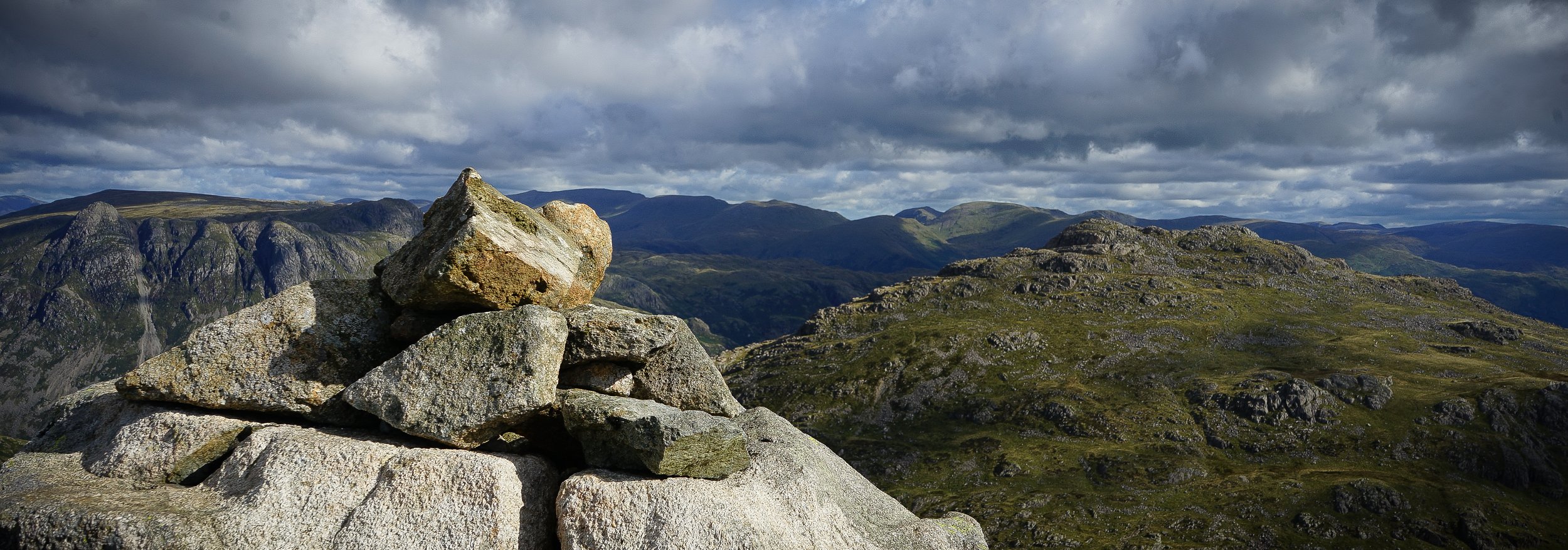
Langdale Horseshoe: Cold Pike and Crinkle Crags
Starting at the iconic Dungeon Ghyll Hotel, this route first heads up Oxendale before turning right and traversing Crinkle Crags. Amazing views are accompanied by rocky and undulating terrain underfoot, giving a thrilling walk that doesn’t require any particular head for heights.
At the end of Crinkle Crags the path meets the col where, for those with the energy, Three Tarns would mark the next ascent on to Bow Fell. This route, however, turns right and descends via The Band, with incredible views down the length of Langdale.
Click the image to open the Outdoor Active Route Card
Key Details:
Wainwrights: 2 - Cold Pike + Crinkle Crags. (Fit walkers may also choose to add Pike of Blisco or Bow Fell to this walk.)
Distance: 8.1 miles/13.0km.
Elevation gain: 2825ft/860m.
Terrain: A mix of rocky upland paths and a small amount of rubble-field scrambling. All well maintained!
Start/Finish: Old Dungeon Ghyll Hotel, Great Langdale.
Public Transport:
516 service: Ambleside to Dungeon Ghyll. Connecting Services via 555 and 599 to Keswick, Windermere and Kendal.
Route notes:
1. Start: From the Old Dungeon Ghyll Hotel follow the tarmac road West for 100m until it curves round to the left. Rather than following the road, go through the gate opposite, and continue on the track until reaching Stool End Farm.
2. 0.8 miles: Follow the signs directly through the middle of Stool End Farm, and on the other side cross through a gate that is at the bottom of The Band.
3. 0.9 miles: Instead of heading up The Band, keep left: follow the track until reaching a sheep pen. Go through the sheep pen, cross the bridge over Oxendale Beck.
Crinkle Crags viewed from between Stool End Farm and Oxendale beck
4. 1.4 miles: The path now becomes a thinner slab/rock path up Oxendale, cut into the hill. Follow this for 1 mile.
Langdale Pikes from Oxendale
5. 2.4 miles: The path will now begin to level out, and you will meet a crossroads of paths. At this crossroads, turn right and continue ascending on the rocky path.
6. 2.7 miles: At this point you can optionally choose to leave the main path and beat a trail up to Cold Pike. This is not well defined, and involves picking your own route via sheep tracks between wet grassy hummocks. However, with a bit of common sense it is easy to pick a route up, and there are no dangerous edges or outcrops to be wary of. After this, retrace your steps back to the main path.
Langdale Pikes and Pike of Blisco from Cold Pike
7. 3.9 miles: At this point the path becomes more undulating with some boulders to cross. Not quite scrambling, but the occasional hands on rock are needed. I am usually very scared of drops and edges, but found this very enjoyable. However, if the nerves are creeping up it is possible to walk further away from any edges, keeping parallel to the main path.
8. 4.3 miles: You will now be approaching a scramble up to the top of Crinkle Crags, called Bad Step. The OutdoorActive GPS route does cross this but, if this looks daunting, there is an easier footpath that leads around the base (to the West) and reaches the summit of Crinkle Crags from the rear. This may be advisable if the weather is wet, as the rocks can be slippery.
9. 4.4 miles: This is the highest point of the walk: Crinkle Crags summit! After taking in the views, the rocky tracks descend to the col at Three Tarns.
The Scafell range and Bow Fell viewed from Three Tarns
10. 5.2 miles: At Three Tarns the path ahead continues up to Bow Fell. Fitter walkers may choose to continue and return via Angle Tarn. This walk, however, turns right and follows the spur of The Band all the way down to Stool Farm.
11. 7.2 miles: The path now returns to Stool Farm. From here, it returns back to Old Dungeon Ghyll via the same track used at the start of the walk.


